The key phase in GIS application development is gaining a clear understanding of what exactly the client needs. Just for that we established a meet & greet phase before we start coding, which includes:
- the collection of information and technical requirements
- establishing clear definitions of content requirements
- detailed analysis of requirements and concept design
The main goal with creating a GIS concept design is to achieve an optimal understanding of the clients work process and to establish a basic logical and physical model for the application, which is based on our map.
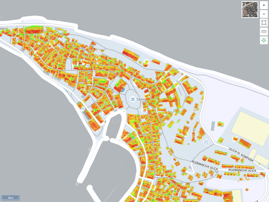
Geographical information systems combine the characteristics of GIS tool with the characteristics of digital archive solutions, and other systems for document management. They present an integrated solution for managing technical assets and offer companies state of the art informational support with infrastructural systems, real-estate, etc. The main task of GIS applications is to offer companies help with day-to-day operational process and provide an actionable basis for strategic development decisions.
The main uses of Geographical information systems are; designing new systems and big-scale intervention procedures, supporting commercial presentations, making strategic development decisions, and many more.
Based on the experience from developing GIS applications for large business and information systems for over 30 years, we developed a complete approach for establishing a quality GIS solution. These solutions are not bound by any specific programming tools and are all available through API’s or web services that are easily integrated and customized for a specific client and their programming environment.

