New update of the Interactive Digital Map – MonolitMap
03/09/2018
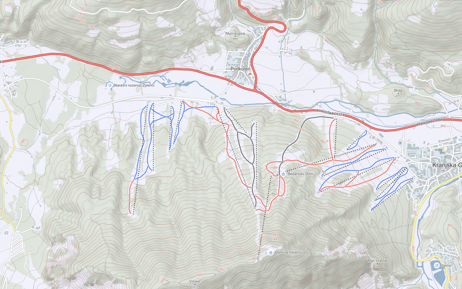
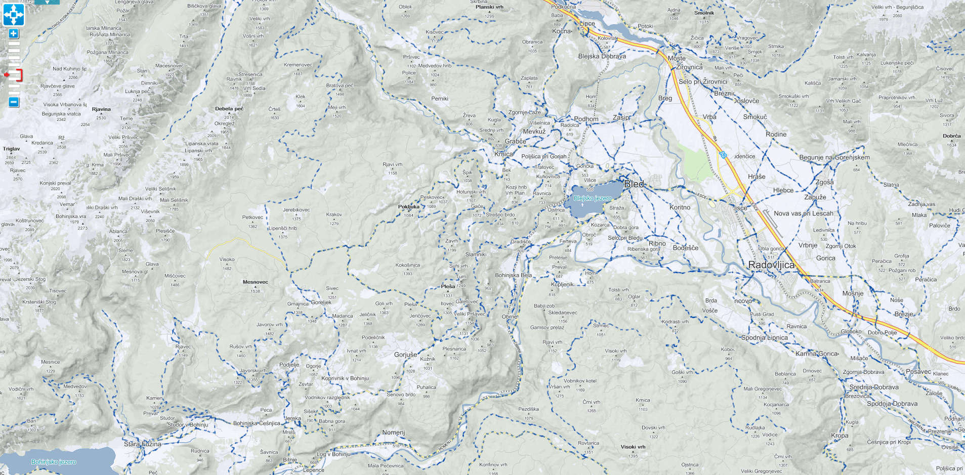
In the month of July we finished with an extensive update of the theme and navigation interactive digital map MonolitMap. The map is built for the entire Europe, some countries in the middle east and Africa (United Arab Emirates, Ghana, Ivory Coast, Togo). In this new edition we also added the countries of Armenia, Azerbaijan, and Georgia.
Because there are many different cartography layers within MonolitMap (roads, buildings, water system, electrical grid, geographical names, etc.) updating its digital platform and content is an extensive project. The considered values are incorporated and precisely defined in more than 100 interconnected datasheets. The colour scheme, line thickness, size of dots and word signs are precisely defined for each specific scale to make the map as transparent and associative as possible. Points of Interest such as schools, stores, natural attractions, museums, etc are marked with special graphical symbols and designed in the blue colour typical for Monolit d.o.o.
We payed special attention to countries, which are most frequently visited by our clients (Slovenia, Austria, Germany, Poland, and Croatia). For these countries we establish an additional spatial index to optimize the functioning and the display of map layers.
Besides the update of cartography, a new search engine index (searching by street address, point of interest, etc.) was established. Even in Europe we are faced with different writings and grammars (Latin, Cyrillic) and we integrated a new function that automatically adjusts all written terms to Latin, which improves and simplifies the search in these countries considerably.
MonolitMap is a great tool for routing and navigation or in other terms searching for optimal routes between points. With the help of search index, we choose a starting point, the end point, and multiple waypoints in-between, based on that the platform calculates the distance and travel time of the optimal route.
MonolitMap is connected with an extensive location-based database on the backend. As such it is the cornerstone of all our mobile and web solutions, as well as other services. The key elements for a successful information system are care and precision when it comes to maintenance and technical soundness of the database.
At Monolit we believe that only current data is precise data and that is why we devote a lot of our time to collecting, organizing and integrating updated data into MonolitMap, because that is the only way to can ensure the level of quality we aim for when it comes to the tools and solutions we develop.
A sidenote: MonolitMap is also used in our outdoor activities platform for hikers, cyclist, and other adventurers – Monolit2go.