Quality geospatial data that mirror the actual state in the field.

Huge added value for a variety of client’s needs and services.

Data integration flexibility based on the client’s environments.

A cornerstone for further analysis and display of data.

Grigorij KrupenkoCASE STUDY
At the Administration of the RS for Civil Protection and Disaster Relief we strive for the quickest response and fastest arrival times of the necessary intervention units, when called upon via the intervention line 112. A big factor in helping us achieve the highest quality of service is Monolit d.o.o. and the precise data they provide. We have been working with them for 3 years, their technical knowledge precision, motivation, and kindness are key for our successful cooperation.
Brane NastranVodja PICCASE STUDY
With the help of the Traffic-information centre DARS is responsible to provide traffic information for Slovenia, which we would not be able to do without quality map base layers used in our digital map. We achieved this by working with the best. Monolit and their professional approach, the quality of their solutions, and their flexibility helps us achieve our goal to provide the most reliable data to the Slovenian driver.
Google
Googlovi zemljevidi imajo kot osnovo za svoje podatke Monolitov zemljevid Slovenije, ki ga redno nadgrajujejo z različnimi lokacijami kot so gostinski in namestitveni objekti, naravne in kulturne znamenitosti, bencinske črpalke in mnogi drugi poslovni subjekti.
Sašo PerušCASE STUDY
At HOFER we put quality first, which includes the process of picking our business partners, therefore we decided to work with Monolit. They provide quality solutions, which they pair up with professionalism and kindness.
Luka KunaverCASE STUDY
We have been working together and strengthening our relationship with Monolit since 2015. We are very happy with their professionalism and quality of service.
Blaž OsrajnikProduktni vodjaCASE STUDY
TSmedia has been cooperating with Monolit for over 10 years. During that time, they have proved themselves as a reliable and responsible business partner. We especially appreciate their willingness to listen and be ready for our requests as well as finding solutions. We look forward to our continued cooperation.
Elektro Gorenjska
V Elektru Gorenjska uporabljajo Monolitovo kartografsko podlago za načrtovanje in vodenje evidence eletro omrežja na njihovem območju.

What are location database services?

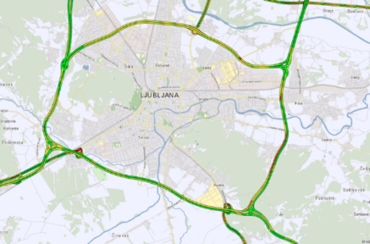
In our location-based databases Monolit constantly maintains and processes geospatial data from many different fields. One of the most extensive fields is maintaining the road-network database for Slovenia. This process includes defining geometrical road axis, categorization of roads, applying traffic restrictions, assigning truck attributes, and other labelling for the purpose of map navigation. We use many different sources for this process, in addition Monolit also performs regular road-network scanning.

Besides the road-network and connected geospatial layers, we also collect and organize a variety of specialized layers that serve as a base for the purpose of supporting mobile and web solutions developed for our projects and our clients. These include an outdoor activities layer for Monolit2go platform, electrical grid layer, points of interest, etc. A big part of what we do here at Monolit is also the preparation of the facility and business facility layers.

Maintaining an up-to-date geospatial database is a challenging task, not only because the real world is constantly changing, but also because this huge amount of data must be properly processed, organized, and stored. We at Monolit realize this challenge and have therefore dedicated a lot of effort to build location-based databases of the highest quality upon which we can establish innovative solutions.

Quality and dependability

We ensure the highest degree of quality and dependability of location-based data

High degree of usefullness

Geospatial data are used for a wide variety of solutions and purposes, based on what a client needs

High flexibility

Integrating and exporting data can be adjusted based on the specific needs and digital environment of the client

Are you interested in cooperating with us?

Connected blog posts/news All news

Related solutions and services

GIS APPLICATIONS

GIS applications present a complete solution for scanning, presenting, and distributing location-based data and services. These are tools that help businesses with simplifying everyday tasks as well as provide an overview for strategic and development decisions.

WEB AND MOBILE SOLUTIONS

We offer complete support in the process of developing, publishing, and hosting web and mobile based application based on our established platforms for real-time traffic monitoring, mapping, routing, outdoor activities, etc.